Still from inside the 3D model: looking across the plaza toward the monument and the cathedral, with melted scan forms of parked cars along the curb

Heritage Park, Digitized

Two days, fifteen scanning passes, and a notebook full of handwritten notes. A record of Columbus Circle and the Powelson Site as they stood in September 2026.

Made with the Onondaga Historical Association.

QUESTION NO. 100-2026-09

HOW DO YOU HOLD ON TO A PLACE WHILE YOUR CITY CHANGES AROUND IT?

← Swipe to explore branches →
Elevated render of the 3D model showing the circular plaza, the monument, and the surrounding streets and cathedral
Our city is changing.
Syracuse is in the middle of big transformations.
Straight-down render of the 3D model showing the circle, its paths, and the surrounding streets
Heritage Park is in downtown Syracuse: Columbus Circle and the Powelson Site.
For the Onondaga Historical Association, we digitized it.
Every tree, every bench, the worn brick, the water in the fountain basin.
Looking up at the bronze figure on top of the Columbus Monument against a blue sky
2014
We scanned the Columbus Monument. Nobody asked us to.
It was a test. Could the tools we had, and the skills we were still building, capture something that big?
The 2014 3D model of the Columbus Monument: the bronze figure on its pedestal above the fountain, on a floating patch of the circle
THE QUESTION WE KEPT
How does digitizing history change the way we understand ourselves?
From our op-ed, early 2020s

In September 2026, we scanned it again. This time on behalf of the Onondaga Historical Association.

A drone flying beside the Columbus Monument, with the domed courthouse behind it
Two days. Fifteen passes.
LiDAR and photogrammetry, walked from the sidewalk and flown overhead, in two different sets of weather.
A capture rig on a pole in a bed of pink flowers, facing the monument and courthouse

Ground: a rig in the flower beds

A team member holding a handheld scanner on the sidewalk beside the cathedral

Ground: handheld, along the cathedral

A team member in a yellow shirt crouching to shoot with a camera on a monopod

Ground: one frame at a time

Two team members, one holding a drone controller, standing over a drone on the pavement

Air: ready at street level

A team member in a high-visibility vest flying the drone at the base of the monument

Air: from the fountain's edge

The monument against a blue sky with a brick building behind and the drone beside the figure

Air: level with the figure

The drone on the gravel of the Powelson Site with three team members walking behind it, and the monument and fountain across the street

Ground and air operations were conducted synchronously.

A 360 degree tiny-planet photo of the team in yellow shirts standing in the circle, with the surrounding buildings wrapped around them

The whole circle, and the team in it

Too High to Reach

The monument is about twelve meters tall.

The bronze figure and the four bronze heads are out of reach from the ground. The fountain pool keeps you about five and a half meters back.

So the drone takes the figure, in rings at increasing height.

Render of the 3D model showing the Columbus Monument in front of the courthouse facade
Silhouette of the bronze figure against an overcast sky, with the drone hovering beside it

None of that is the hard part.

The hard part is making fifteen passes agree with each other.
Each one sees the site from somewhere else, on a different morning, in different light. The software has no idea they are the same place until you prove it.
We learned that on the Scarab Vase. That object was small enough to hold.
This one is three city blocks.

Sixteen Markers

So before we scanned anything, we set sixteen markers around the site and wrote down everything about them.

Where each one sat. What it saw. How it faced the site.

Then we did it all again on day two, in different conditions.

A square black and white scanning marker taped to the pebbled paving at the edge of a curb
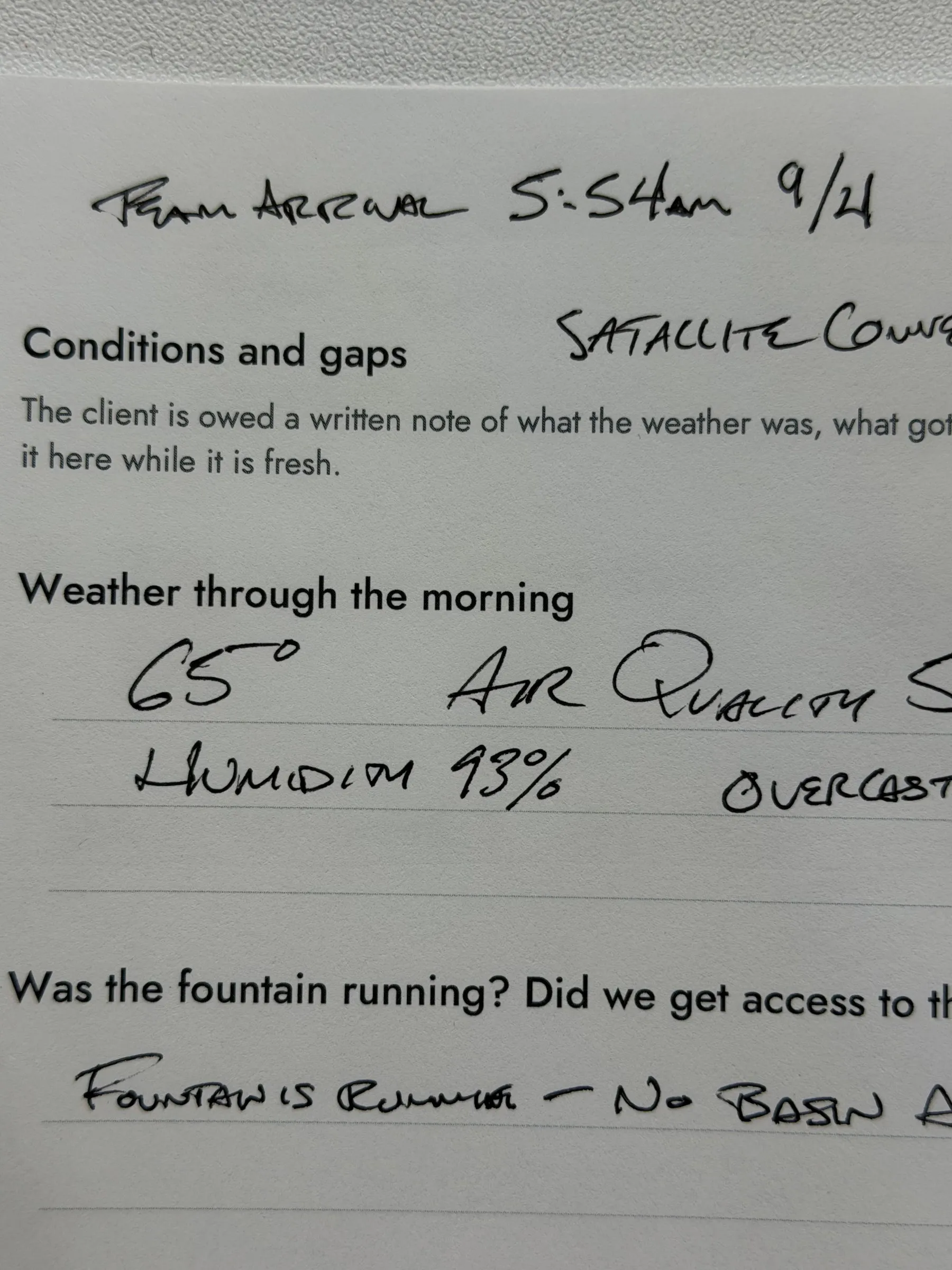
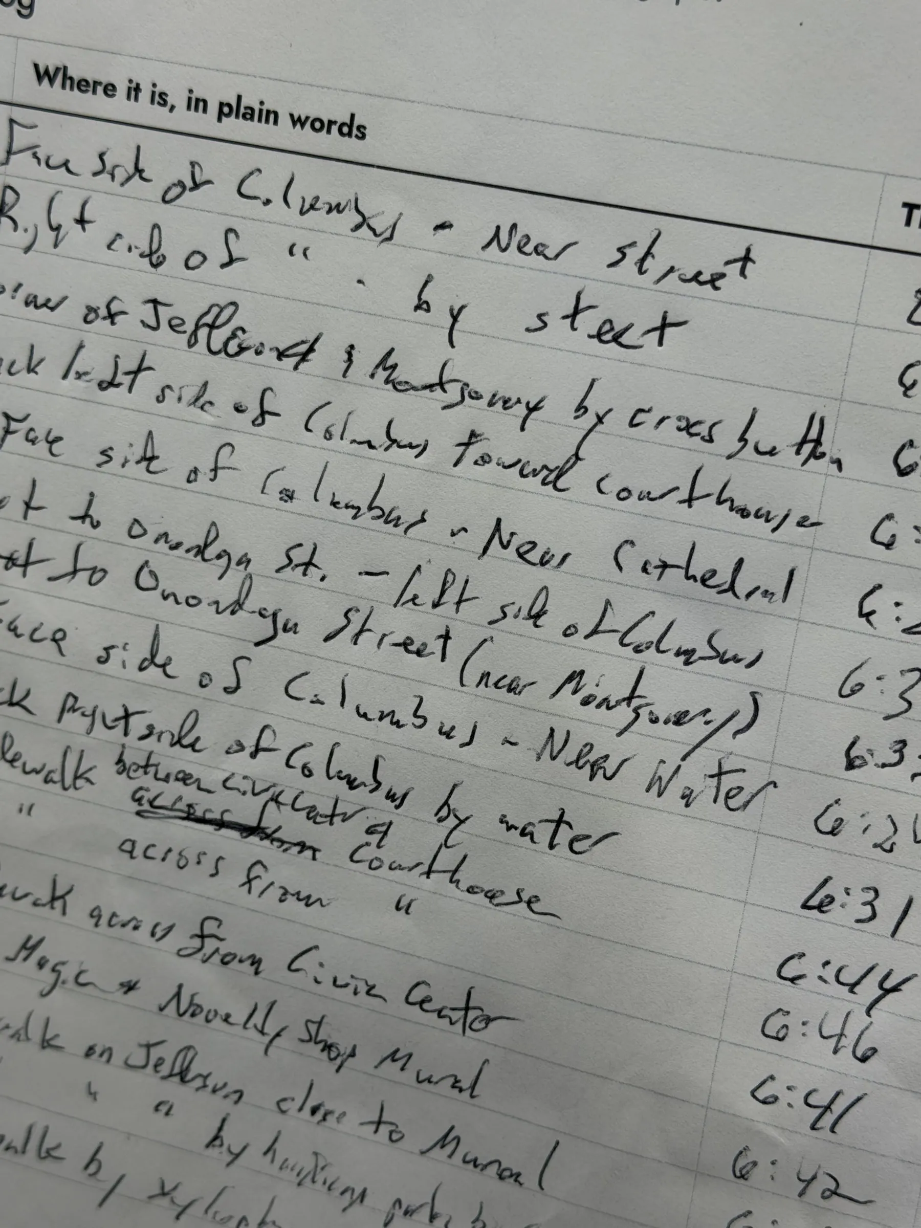
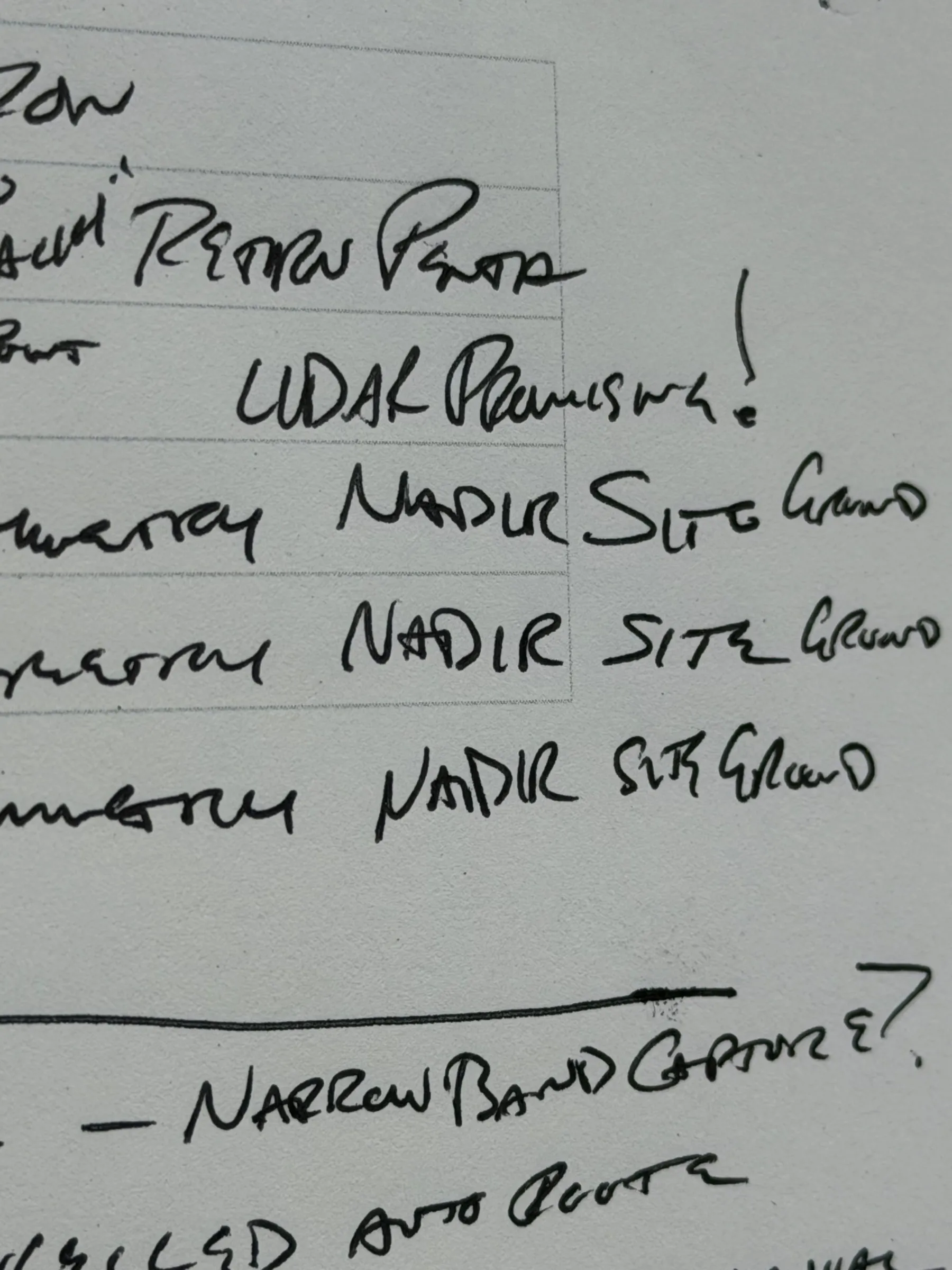
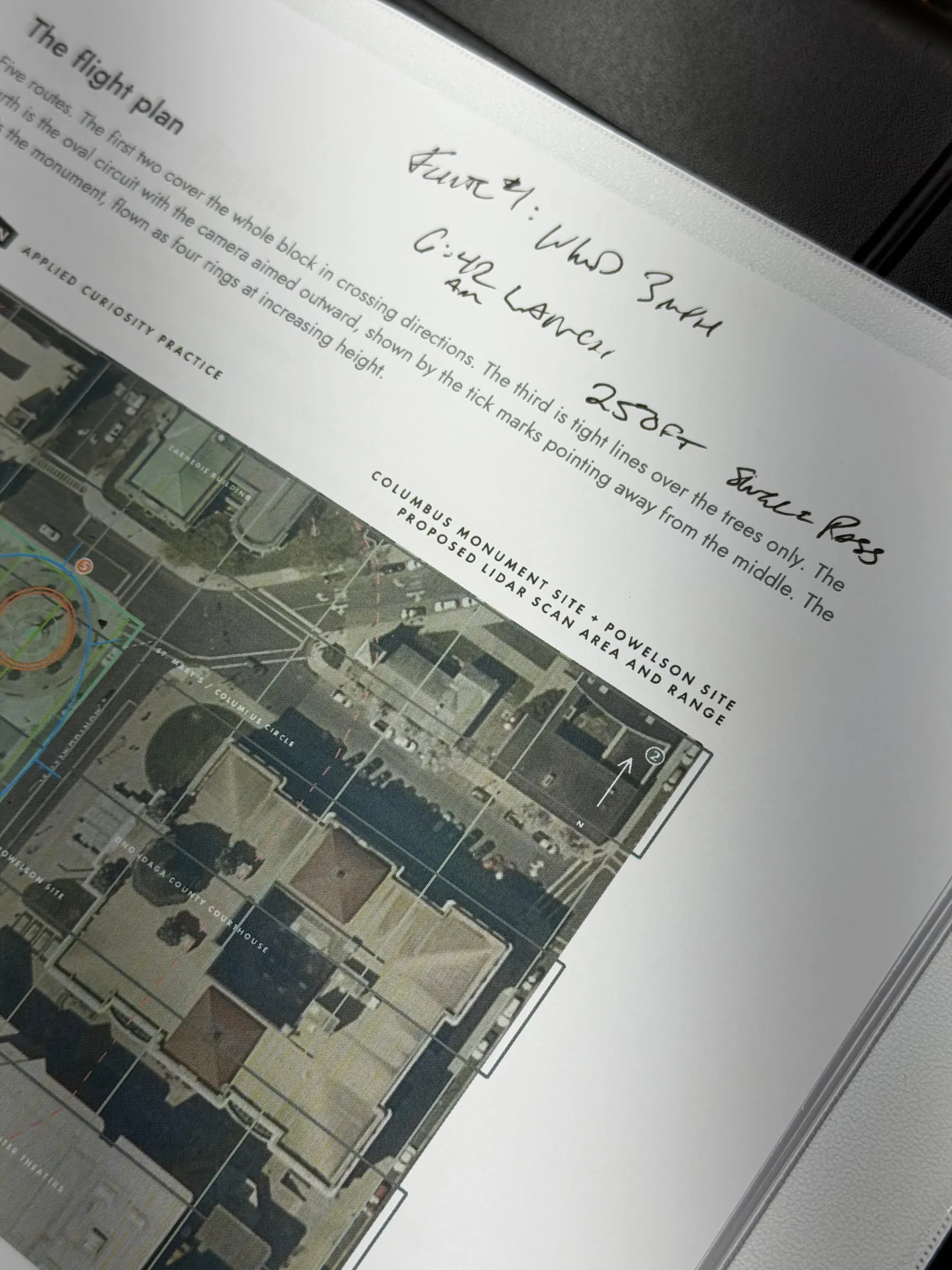
A printed log sheet in a binder with a handwritten target log listing where each marker sits and the time it went down
Fill these in as you go, not afterwards. You will not remember by lunchtime.
The log sheet, from our field manual

Two days of scanning rests on a notebook full of handwritten notes.

Still from the 3D model: the bronze heads on the monument's pedestal, with the courthouse facade behind
What came out the other side is a record of Columbus Circle and the Powelson Site as they stood in September 2026.
Every tree. Every bench.
The worn brick. The water in the fountain basin.
28 million
measured points.
Capture days
2
days
Scanning passes
15
scanning passes
Markers
16
markers
Still from the 3D model: the cathedral facade and its tower against a clear sky
Standing in the Record
Everything here is a render of the 3D model. None of it is a photograph.
Render of the monument framed against the cathedral facade
The monument, against the cathedral.
Human-scale render looking past the monument toward the Carnegie Building
Across the square, toward the Carnegie Building.
Render of the monument in front of the domed courthouse
The courthouse, behind the figure.
Elevated render of the circular plaza, the monument, and the surrounding streets
The circle, from above.
The 3D model drawn as a pale blue wireframe: the monument and the buildings around the circle on a dark ground
Still from the 3D model drawn as a pale blue wireframe: the monument and the buildings around the circle on a dark ground
Once atoms become bits
the same place can be drawn as points, as wireframe, as solid, as texture. Or all four at once.
Or you can let go of the photograph entirely.
Drag across the image. Same geometry, same camera.
Rendering stages
Rendering stages
Color field
Color field
Nothing about the place changed. Only how we chose to look at it.
A 360 degree tiny-planet photo of the team in yellow shirts standing in the circle, with the surrounding buildings wrapped around them
Here's the part we keep thinking about.
That 2014 scan wasn't practice for anything.
The op-ed wasn't a pitch.
We were just curious.
And it turns out we were getting ready for this job for over a decade without knowing it.

The things you do out of curiosity don't disappear. They wait for you.

There's a principle in Applied Curiosity for that: Timing Has a Way of Working Out.
The scanning isn't the hard part
Two days, fifteen passes, ground and air. What decides whether it holds together is making every pass agree.
Write it down while it's fresh
You will not remember by lunchtime. The weather, the fountain, the gaps: they go in the log on the spot.
Curiosity waits for you
A test in 2014. An op-ed a few years ago. Neither was practice. Both were getting us ready.
Our city is changing. This capture is a moment in time we can share, learn from and enjoy for years to come.
Project Data
Title Heritage Park Digitization
Site Columbus Circle and the Powelson Site, downtown Syracuse, NY
Partners Onondaga Historical Association and AeroSparks
Capture Dates September 4 and September 8, 2026
Methods LiDAR and photogrammetry, walked from the ground and flown overhead
Scanning Passes 15
Markers 16, logged on both days
Result 28 million measured points
Category Archival record
Earlier Work Columbus Monument scan, 2014

Curious About Keeping a Record of a Place?

Timing Has a Way of Working Out is one of ten principles in Applied Curiosity, alongside the four-step method we use when the path isn't clear.

Collaborators

Stephanie Budmen Isaac Budmen Onondaga Historical Association AeroSparks

Tags

3D scanning LiDAR photogrammetry cultural preservation Syracuse archives